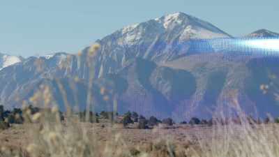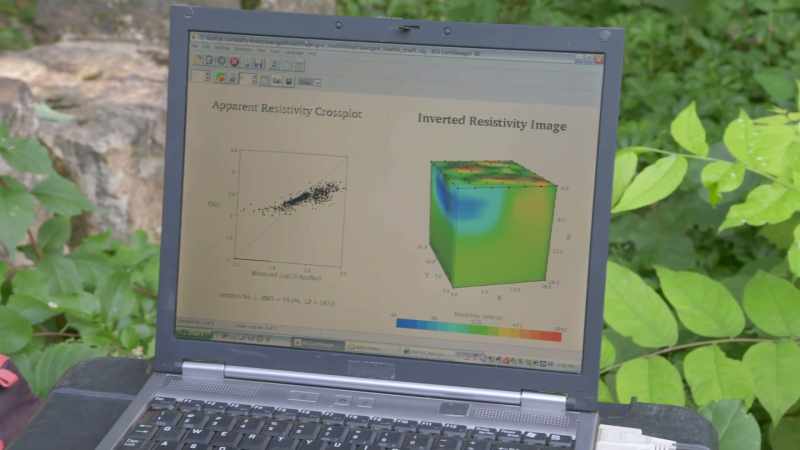

The data collected from the currents creates a detailed 3-D mapof the ground
Join the conversation
Log in or create an account to leave a comment
Log In
The data collected from the currents creates a detailed 3-D map
of the ground
of the ground
Full Transcript
00:00:01.000 --> 00:00:02.076
The data collected from the currents
00:00:02.084 --> 00:00:06.036
creates a detailed 3-D map
of the ground.
Want This Clip in HD?
Upgrade for HD/4K downloads and unlimited access. Upgrade now →
Movie Summary
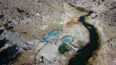
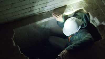
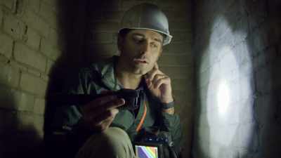
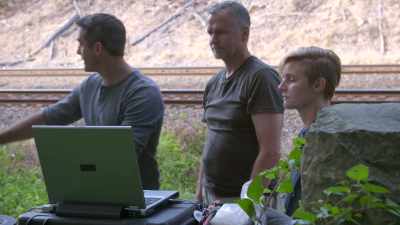
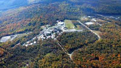
Using cutting-edge technologies such as ground penetrating radar (GPR), LIDAR (Light Detection and Ranging), and 3-D imaging, scientists research fascinating underworlds of secret tunnel networks, ancient structures, and bizarre g...